Location: Uwharrie National Forest - Birkhead Mountain, North Carolina
This was our second hiking trip, and we were
slightly better prepared.
We remembered the ibuprofen, for one thing.
Our first hiking trip around
Badin Lake had let us know that we are no longer twenty years old, with well-lubricated joints and energy levels easily fueled by crackers and cheese. Ibuprofen, it was decided, was an integral part of our gear.

If you'd like to see the path we took, as well as stats like altitude and speed, you can check out our trip log on
EveryTrail. We tried out a new cell phone app on this trip as well:
EveryTrail Pro. Now, Hubby and I are typically fans of free apps, but in the case of hiking apps we decided that going with the paid version was probably worth it (especially since the paid version was a whopping $3.99).
Why?
The headline test. Specifically, when making a decision you ask yourself, "What would that headline look like?"
In this case, the headline that ran through my mind was, "Lost Couple Was Too Cheap To Buy $4 App - Bodies Still Missing."

I really liked the app - particularly because it gives you the option of snapping pictures with your phone that are automatically linked to where you are on the trail. I was also very surprised and
very pleased to discover that when I uploaded the pictures I'd taken with our regular camera, those pictures were also automatically linked to where they were taken on the trail.
How does this magic happen, you may ask? (I'm assuming you would ask, since I did!)
My camera does not have a GPS feature. It's coming up on eight years old, which in camera terms these days makes it about 98 years old, but it's a
spry 98! It still takes absolutely awesome pictures, and I love it dearly.

This magic, therefore, is the result of some seriously inventive technology on the EveryTrail website. Basically, the website takes the timestamp on your pictures, combines that with the information from your hike that was uploaded, and takes an educated guess as to where they were taken. It's not perfect, but the website also gives you the option of moving them around if you need to.
We started off about mid-morning in temperatures that were in the low
50's. The sun was shining, and we had a few layers on to keep the chill
off while we got started. We didn't bring any of our dogs this time,
but we did bring our teenage son, and he provided the dramatic sighs and
eye rolls for the trip.

One of the first things we noticed about the trail was that it was
much
better marked than our Badin Lake adventure. The trail seems to get
more regular use, so the path itself is fairly clear, and there are a
couple of carved signs along the way that point you down the different
routes you can take.

The second thing we noticed was a distinct lack of trash. On our Badin
Lake hike, we saw a wide variety of beer cans and other debris as we
traveled. I can't stand trash in the wilderness - it's the worst kind
of selfish behavior in my opinion, and if I catch someone at it you can
bet they'll know how I feel in short order.
We weren't prepared for
that sort of thing the first time out, but for this trip we specifically
brought a trash bag and a pair of work gloves to pick up whatever trash
we saw on the way.
Our net haul was two cans of carbonated beverage that was
not beer, and a candy bar wrapper (fun-sized).

I suspect the difference has a great deal to do with the kind of use
the two trails see. Badin lake has a series of campgrounds along the
trail, and the main usage in the area is for boating, fishing, and
camping. Birkhead doesn't have the same level of camping - most of the
usage there seems to be hiking.
Hikers carry their stuff out.

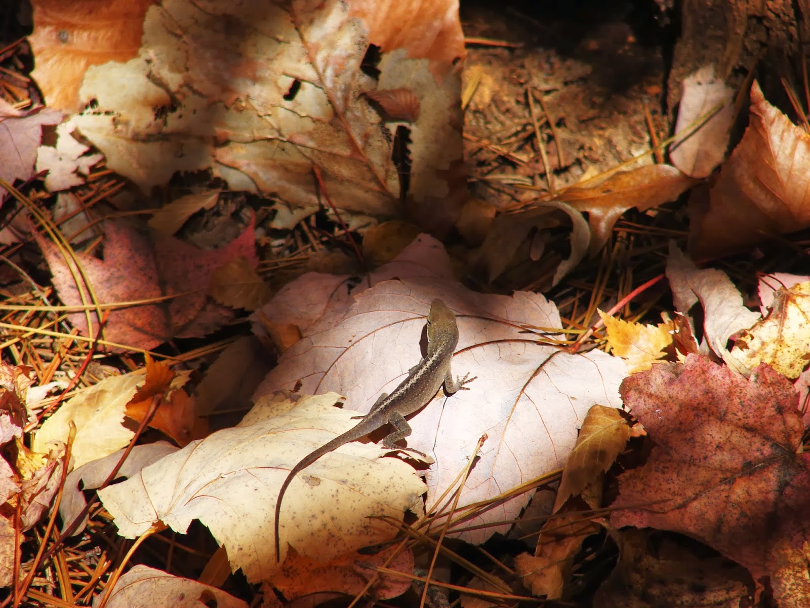
The scenery was gorgeous. Fading fall colors on tall, slim trees, a
painter's palette of leaves covering the ground, and quartz and other
rock formations providing an interesting contrast.
We did have one scary moment.
OK, it scared me. I don't know if it scared Hubby or Son.

We
had stopped for lunch at the halfway point - peanut butter and honey,
squeezed through a hole cut into a ziploc baggie onto crackers, water,
and fruit - and gotten back onto the trail.
We'd been
alone on the trail all day, with nothing but the sound of the light
breeze through the trees around us. Suddenly, a white dog ghosted out
of the woods from behind us. He was followed closely by four more dogs,
all in the 50-70 pound range.

I could see collars on a couple of the dogs, but of course my mind
immediately brought up images of packs of wild dogs roaming the woods
looking for victims to rip limb from limb.
Our family
instinctively formed a little triangle as the dogs circle us, keeping a
distance of about six or seven feet. The dogs are watching us. We're
watching the dogs. Everything freezes.
 |
| Share the Trail! |
Then, just as my nerves are stretched to twanging, two riders come
through the trees from behind us, leading another horse. The riders
called the dogs, who happily trotted over to join them. We exchanged
greetings and let the riders pass, and my heart rate settled back to
normal.
The trail itself is an easy hike. There are a fair number of climbs,
but they aren't steep and they won't trouble most hikers. Being out of
shape, and possessing
really short legs, those inclines gave me some trouble - nothing a few pauses on the way up couldn't handle.

We
crossed several streams along the way. It was late enough in the season
that the streams were really just pools of water, so that part was easy.
The toe-knockers were another matter.
The
deep layer of fallen leaves hid all manner of tripping hazards, and I'm
pretty sure that between the two of us, Hubby and I found them all.
Big rocks, little rocks, loose rocks, pointy rocks. And then there were
the tree roots and branches.

I was glad to be
wearing my work boots, with their composite toe and high ankle support.
You could do this trail in tennis shoes, but you'd better have better
balance and coordination than I do or you'll be explaining your crutches
on Monday morning! Our next trip is going to include walking sticks,
to help us find those toe-knockers before our boots do, and help us keep
our balance.
This was a really fun hike (that took us about twice as long as it
should have - we're really slow!), and we'll definitely be going back!


 We kept our packs light since the trail is only about 2 miles long. It's not a loop - you head in, get to the end, and head back - so those 2 miles are just the distance to get to the end. The total distance to get in and get back would be about 4 miles.
  Early in the trail is a very nice bridge over a busy little stream. If you'd like, you can walk down to the edge of the stream and watch the clear water travel over the rocks. I was very pleased to find that the bridge was sturdy and stable - no wobble at all!
 This trail sees a fair amount of use, but the only other group we saw was a father with a metal detector leading his two boys. Otherwise, we had the trail completely to ourselves.
  This trail is great for a quick little trip into the woods. The trail isn't demanding, the views are beautiful, and length is perfect for a lazy morning hike.